| Hurricane Warnings in Effect | Atlantic: Mid Atlantic - High Seas |
The Ocean Prediction Center and "The Perfect Storm"
The OPC played an important part in forecasting "The Perfect Storm"
Questions and Answers about the OPC and marine weather forecasting
Images of Interest
![[MPC operations]](./mpc_ops2.gif) OPC Operations |
![[image of the Andrea Gail]](./andrea_gail.gif) Position of the Andrea Gail at the last known radio contact the evening of October 28, 1991. |
![[rogue wave]](./rogue_wave2.jpg) Rogue wave estimated at 60 feet moving away from ship after crashing into it a short time earlier. In the Gulf Stream off of Charleston, South Carolina, with light winds of 15 knots. [About rogue waves] |
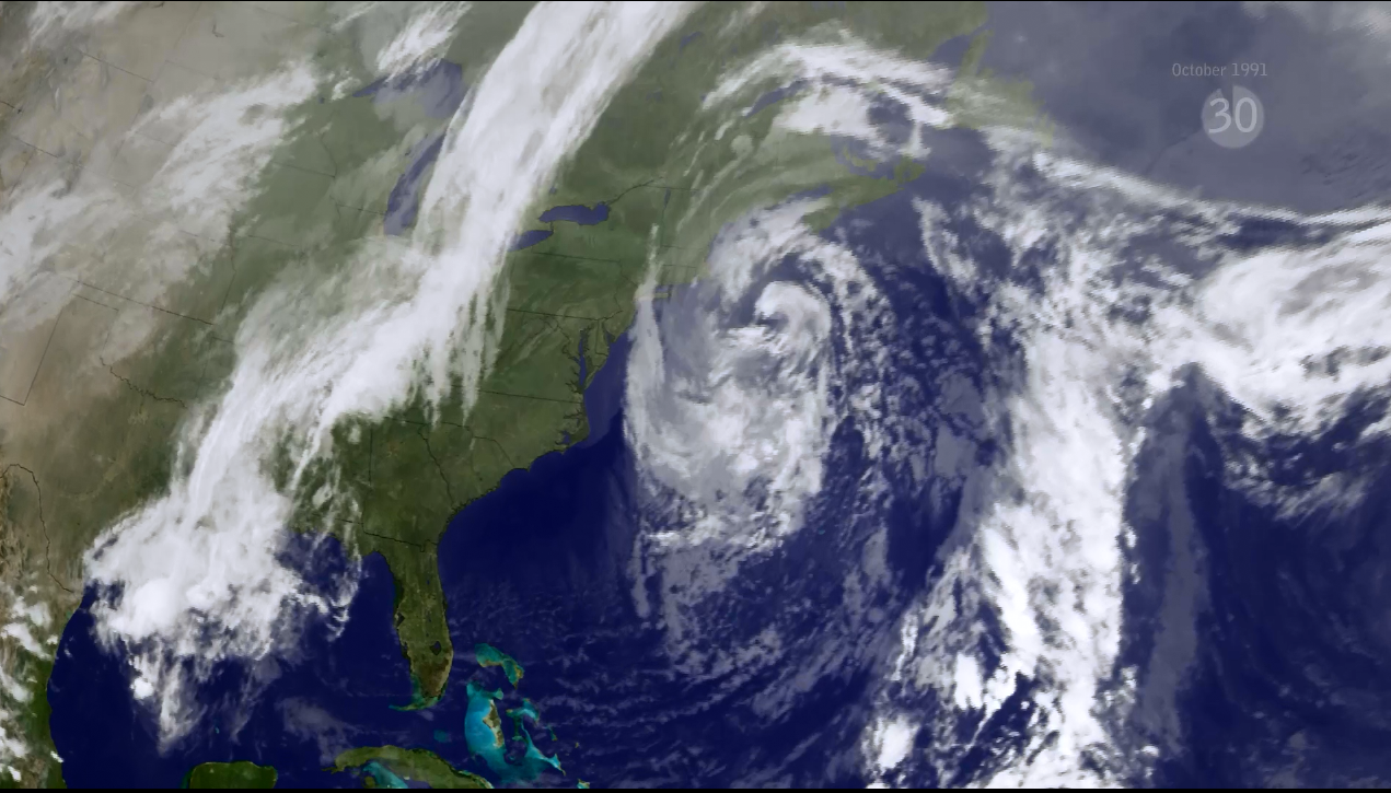
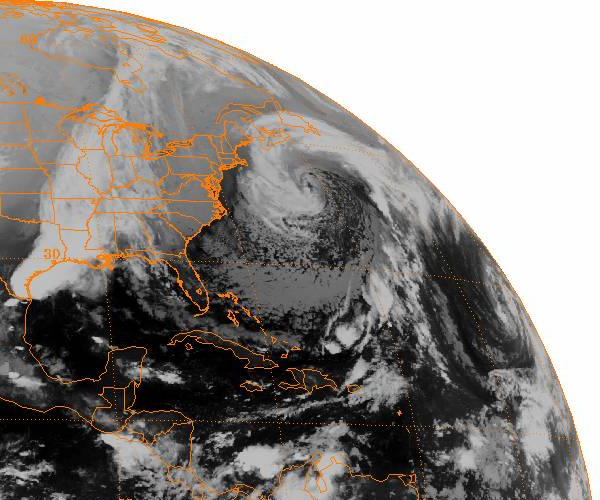
Satellite Imagery of the Perfect Storm
 |
 |
|
| 2300 UTC October 30, 1991 |
0900 UTC October 30, 1991 | |
Loop of weather analyses for "The Perfect Storm"
Oct 27 - Nov 2, 1991
![JavaScript animation [thumbnail]](./13_sm.gif) |
| JavaScript animation |
Related Links
NOAA story on "The Perfect Storm"


