


| Hurricane Warnings in Effect | Pacific: High Seas EP1 and EPI |
Satellite Imagery
NOTE: The terms Coordinated Universal Time (UTC) and Zulu (Z) are equivalent.
Table of Contents
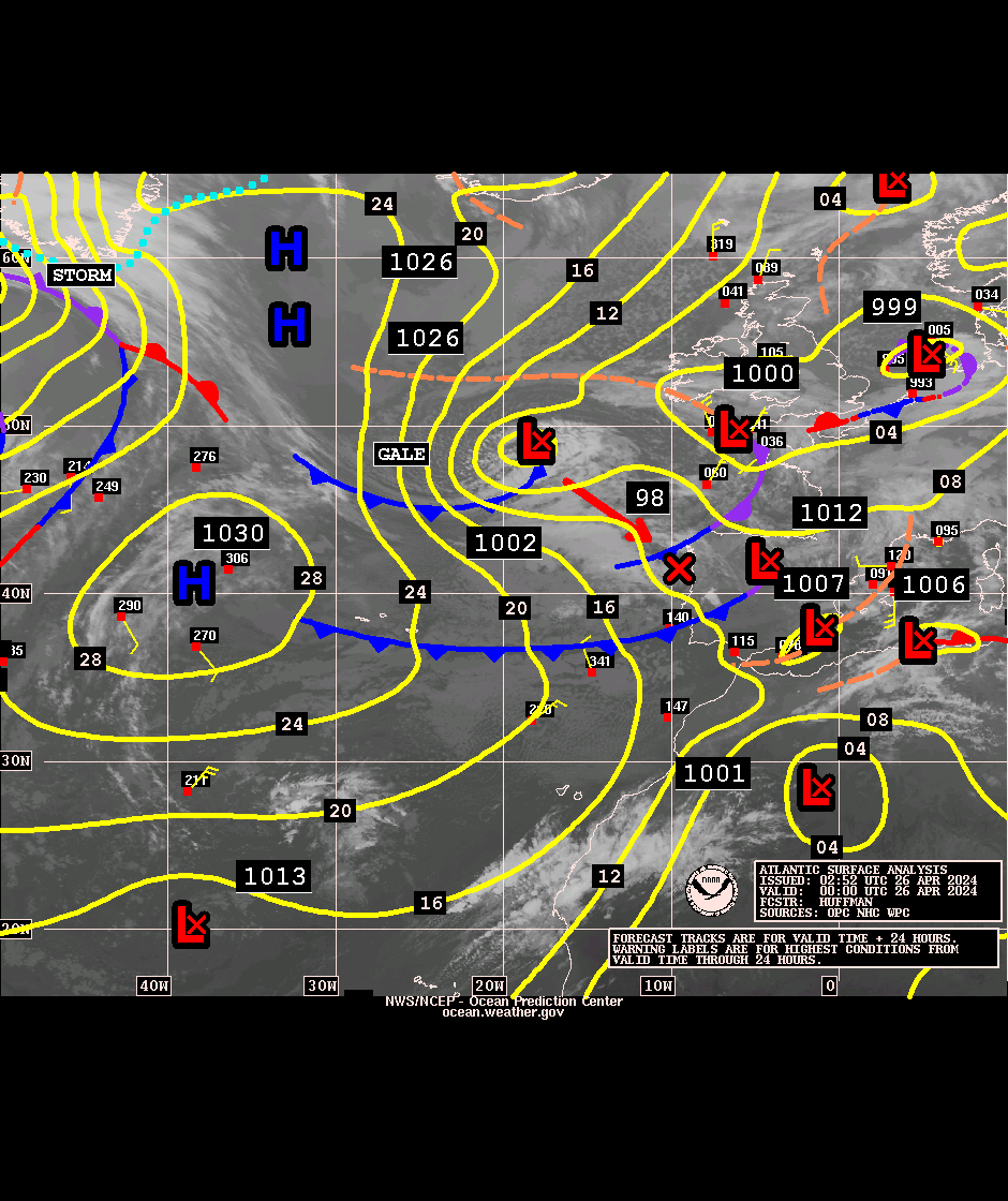
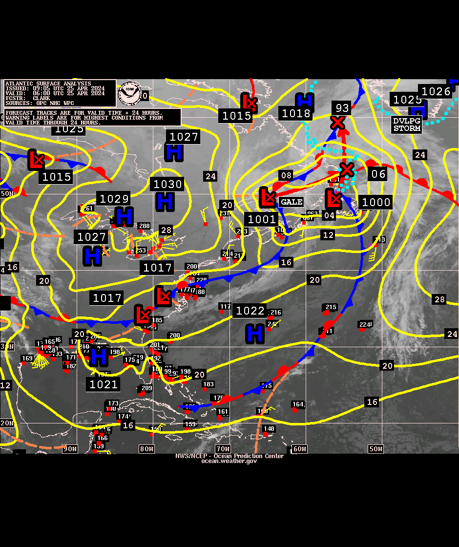
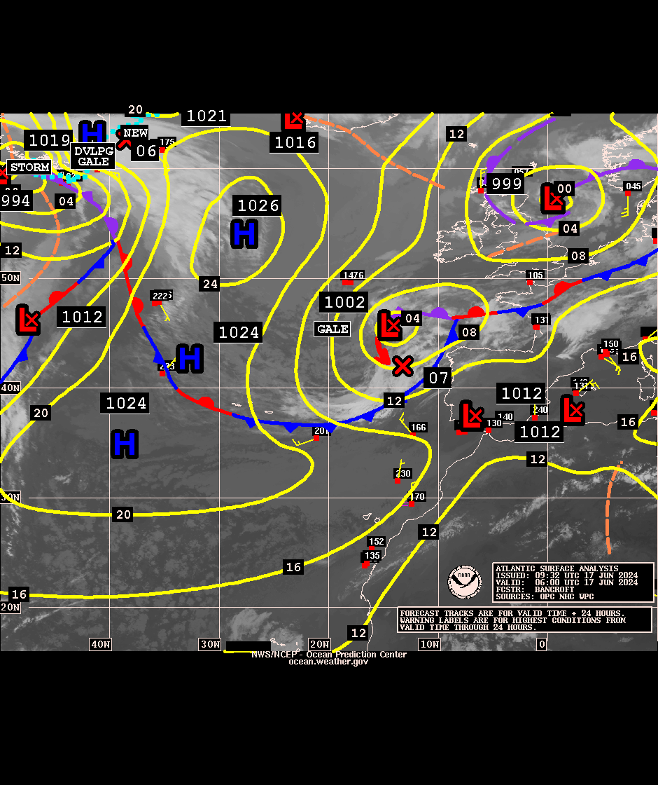
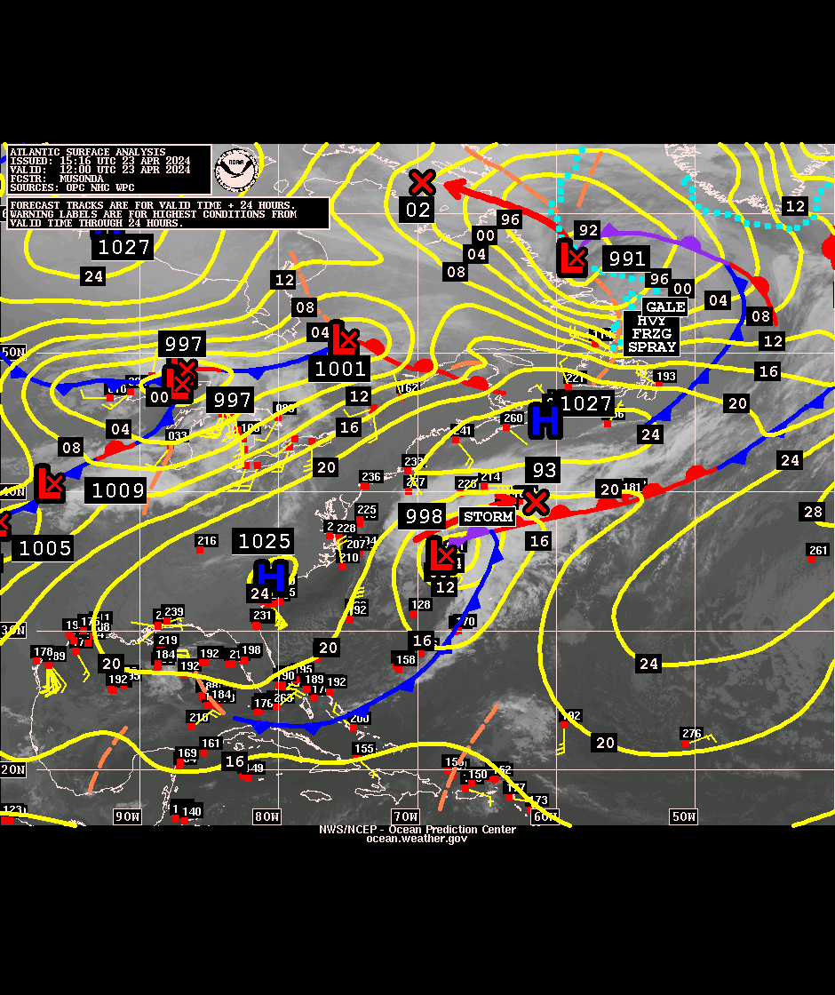
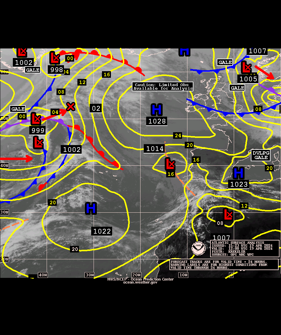
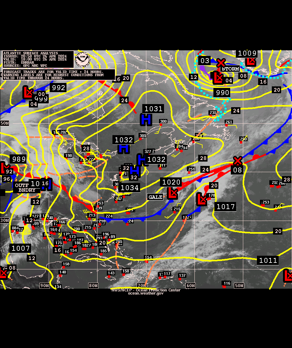
Atlantic Images
| Surface Analysis | West | East | Last Updated |
|---|---|---|---|
| 00Z | GIF | GIF | Fri, 17-Jul-2026 03:43:19 UTC |
| 06Z | GIF | GIF | Thu, 16-Jul-2026 09:06:56 UTC |
| 12Z | GIF | GIF | Thu, 16-Jul-2026 14:51:59 UTC |
| 18Z | GIF | GIF | Thu, 16-Jul-2026 20:53:37 UTC |
NOTICE: The following links below are external to the Ocean Prediction Center and we are
unable to answer questions about the images. You are referred to the NOAA NESDIS Center for Satellite Applications and Research (STAR) for questions or comments on the images listed below for the Atlantic and Gulf of America regions. Questions about the Pacific region should be directed to NOAA NESDIS Satellite Services Division (SSD).
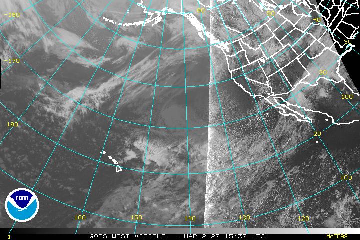
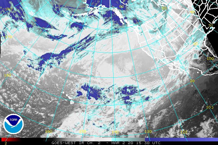
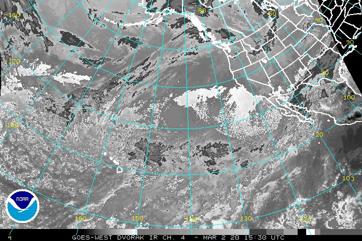
Atlantic and Gulf of America GOES East
- Full Disk - every 10 minutes
- US CONUS (lower 48) - every 5 minutes
- US Regional - every 5 minutes
- Mesoscale ("Floaters" tasked to follow significant events) - every minute
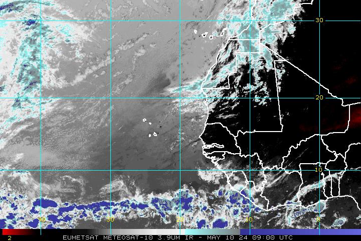
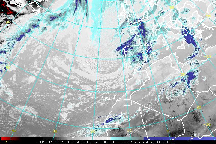
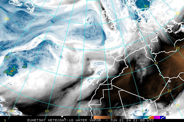
Atlantic METEOSAT (every 6 hours)
Eastern Atlantic Sector
Northeastern Atlantic Sector
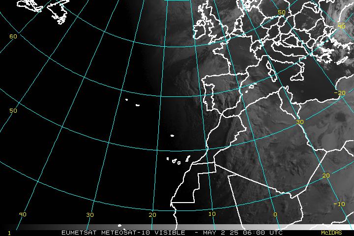
Pacific Images
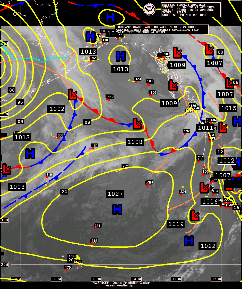
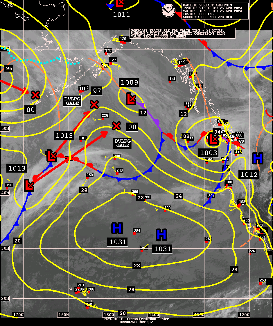
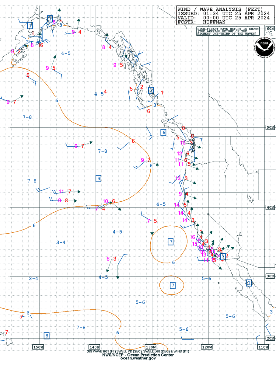
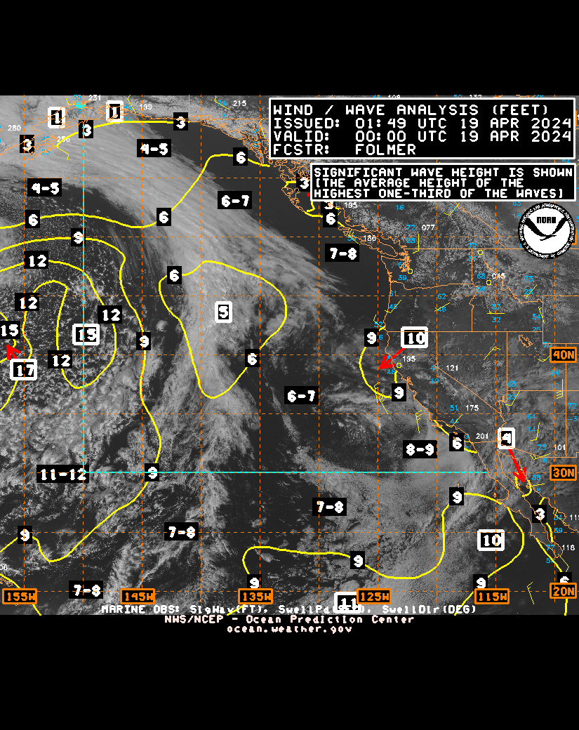
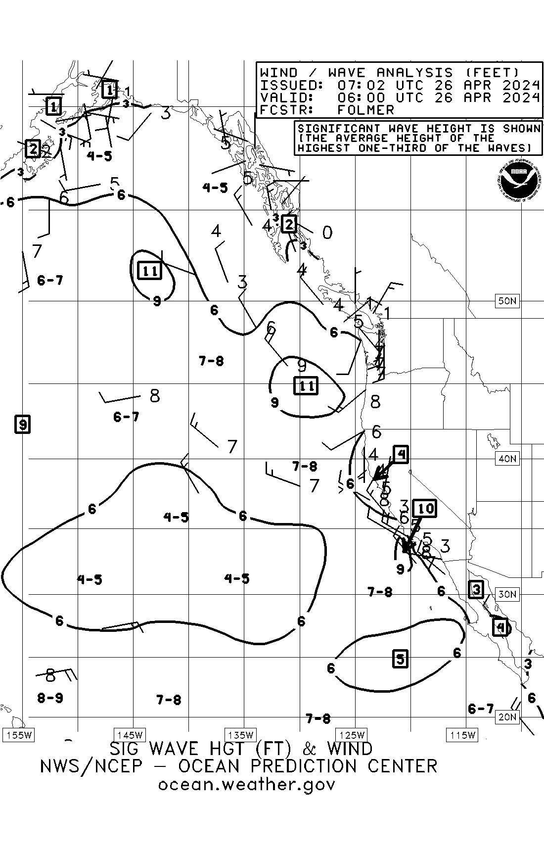
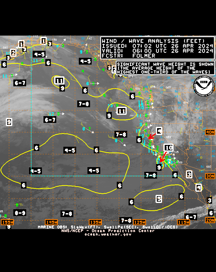
| Surface Analysis | West | East | Last Updated |
|---|---|---|---|
| 00Z | GIF | GIF | Fri, 17-Jul-2026 03:20:33 UTC |
| 06Z | GIF | GIF | Thu, 16-Jul-2026 09:10:03 UTC |
| 12Z | GIF | GIF | Thu, 16-Jul-2026 16:23:41 UTC |
| 18Z | GIF | GIF | Thu, 16-Jul-2026 21:07:26 UTC |
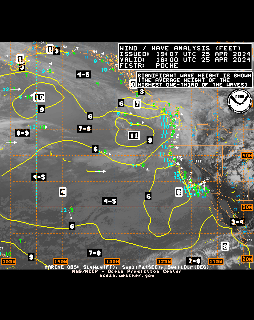
| Time | (~65 KB) observations | (~300 KB) observations & IR satellite |
(~300 KB) observations & Vis satellite |
Updated |
|---|---|---|---|---|
| 00Z | TIF | GIF | B/W GIF | TIF | GIF | TIF | GIF | Tue, 14-Apr-2026 01:32:37 UTC |
| 06Z | TIF | GIF | B/W GIF | TIF | GIF | Tue, 14-Apr-2026 06:15:26 UTC | |
| 12Z | TIF | GIF | B/W GIF | TIF | GIF | Tue, 19-May-2026 13:28:54 UTC | |
| 18Z | TIF | GIF | B/W GIF | TIF | GIF | TIF | GIF | Fri, 01-May-2026 18:28:58 UTC |
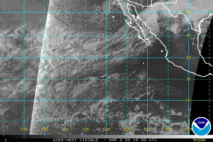
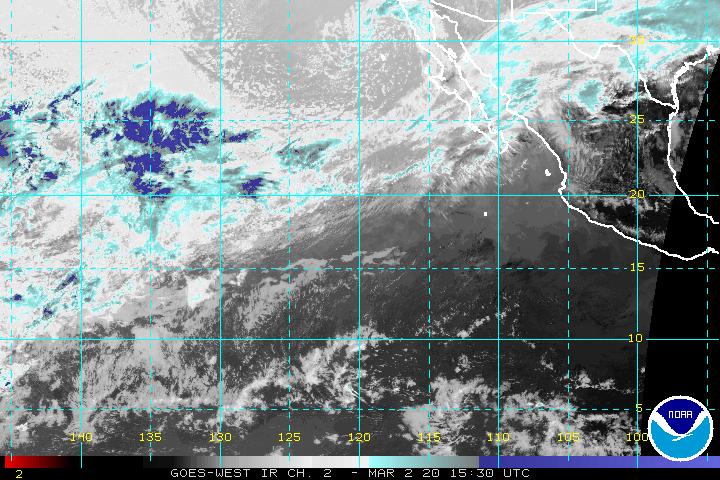
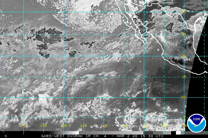
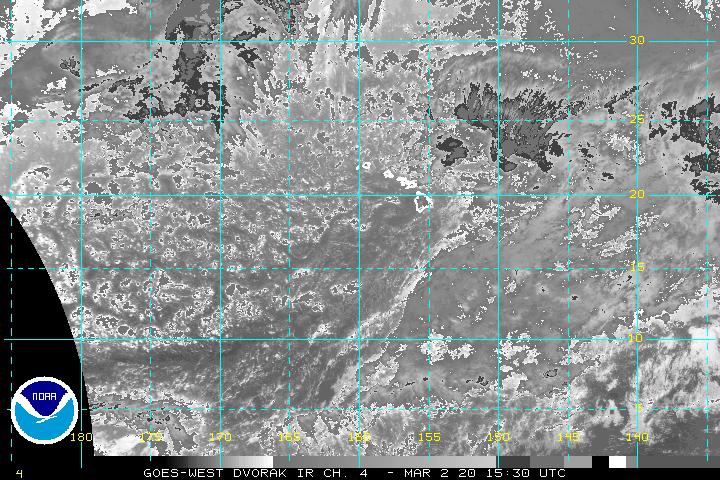
GOES Hurricane Sectors For Northeast Pacific
- Visible - Loop - Infrared - Water Vapor
Pacific GOES East (every 30 minutes)
Northeast Pacific Sector
East Pacific Sector
GOES West (every 30 minutes)
Central Pacific Sector
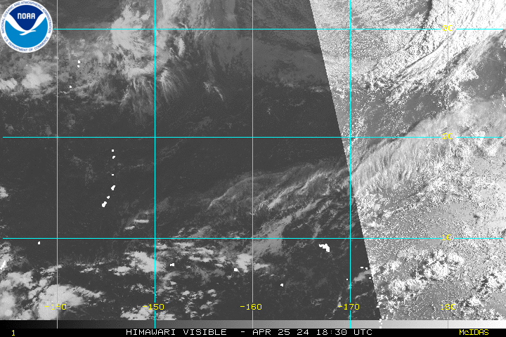
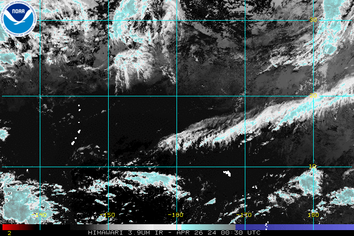
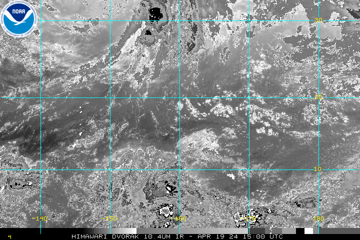
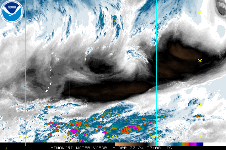
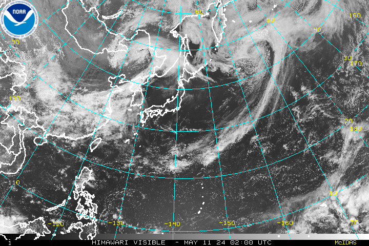
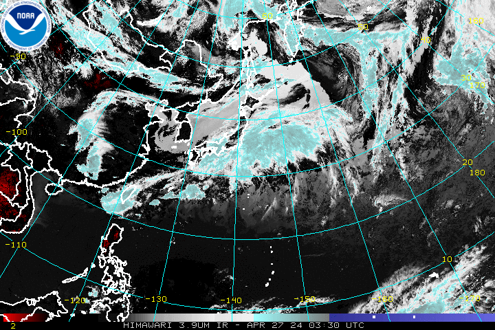
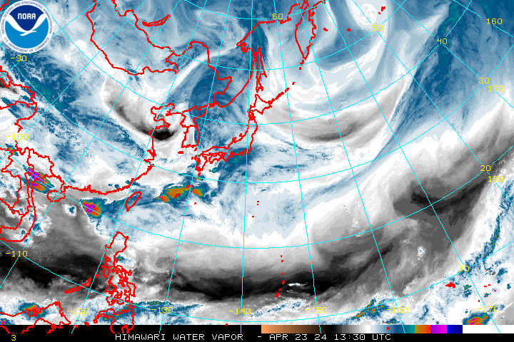
Himawari-8 (every 30 minutes)
West Central Pacific Sector
Northwest Pacific Sector
Additional Imagery