-
Analysis & Forecast
- Weather
- Ocean
- Ice & Icebergs
- Other Hazards
-
Data
- Digital Forecasts
- Electronic Marine Charting (ECDIS)
- Environmental
- Freezing Spray
- GIS
- Observations
- Ocean
- Past Weather
- Probabilistic Guidance
-
Information
- Product Information
- Receiving Products
- About OPC
-
Social Media
Global RTOFS High Resolution Oceanic Model
Use the drop down menus below to change the display.
- Data:
Global RTOFS High Resolution Oceanic Model
- Area:
Bering Strait and Gulf of Alaska
- Parameters:
Currents
- Display:
Day 1
- Loop:
Off
 |
 |
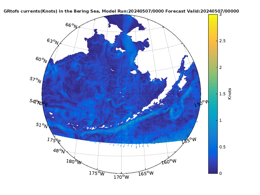
0 Hour Currents (kt)
|
3 Hour Currents (kt)
|
 |
 |
6 Hour Currents (kt)
|
9 Hour Currents (kt)
|
 |
 |
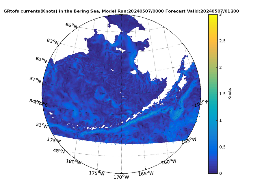
12 Hour Currents (kt)
|
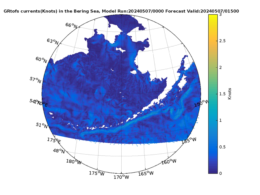
15 Hour Currents (kt)
|
 |
|
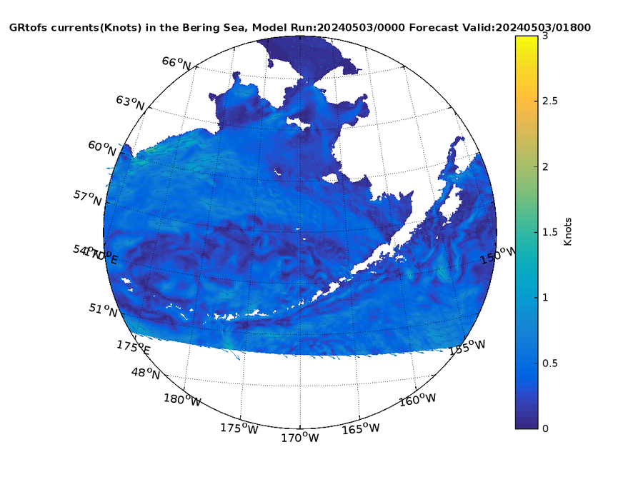
18 Hour Currents (kt)
|
|


