


Surface Feature Tracks
In NWS Service Change Notice PNS18-06, OPC will
change the content of its surface analyses, and 24-, 48-, and 96-hour forecast charts. Starting March 7, 2018, these charts will only depict future
forecast track information for extratropical low pressure systems that have, or are forecast to have, hazards associated
with them. The hazards displayed will be gale, storm, hurricane-force, developing gale, developing storm, developing hurricane-force,
and possible tropical cyclone. Heavy freezing spray information and the ice edge will be included as well.
The analysis and forecast charts will no longer include past track information. The analysis and forecasts charts also will no longer include
forecast tracks for the following: highs, extratropical lows with no hazards associated or expected with them, and tropical cyclones. This
change will improve the forecasters' ability to provide detail in their digital forecasts. The change will also result in OPC's implementation of 72-hour
forecast surface and wind/wave charts to be issued once daily.
A summary of OPC changes are the following:
- Create a new 72-hour forecast chart
- Show depictions 24 hours beyond the chart valid time for extratropical low pressure systems with warnings or developing warnings associated with them
- Ensure consistency of tropical cyclone information from the advisories issued by the National Hurricane Center (NHC), Central Pacific Hurricane Center (CPHC), and Joint Typhoon Warning Center)
Examples
|
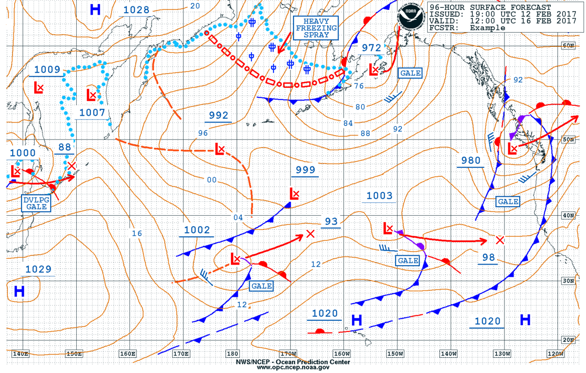
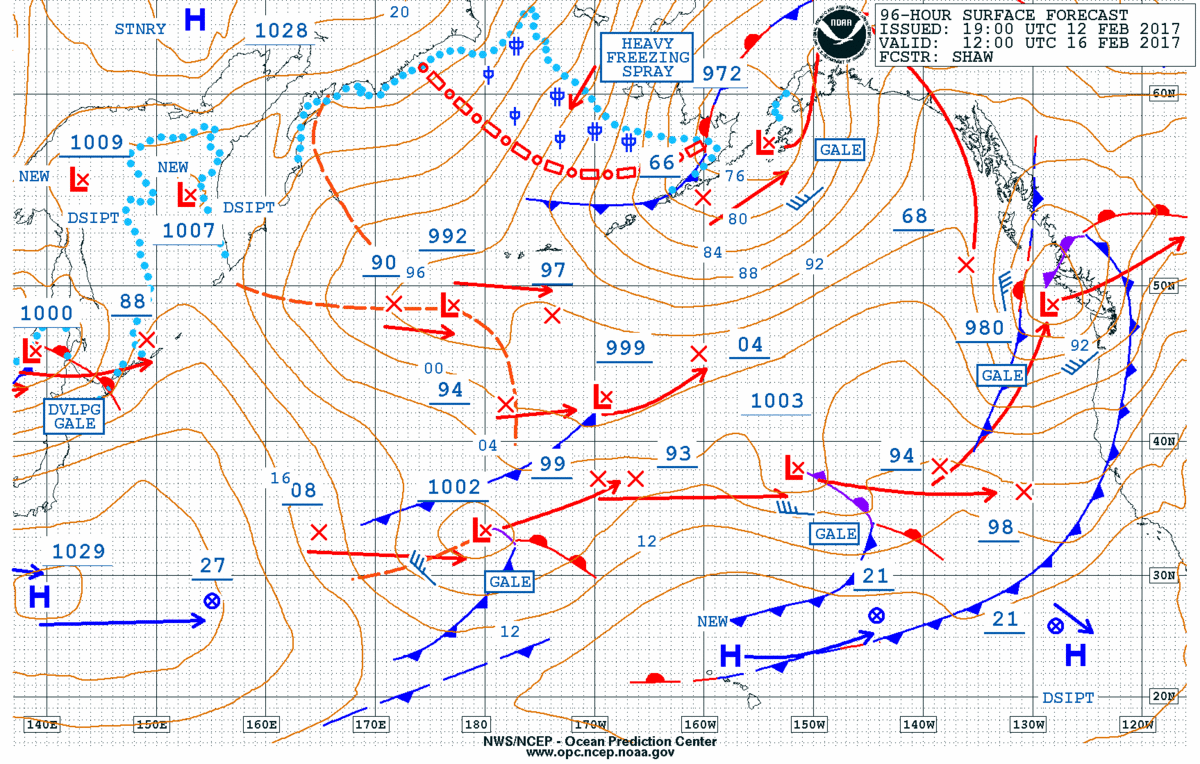
Effective 7 March 2018 |
Current |
|
|
|
Click images to enlarge. |
|