| Hurricane Warnings in Effect | Pacific: High Seas EP1 and EPI |
Ocean Prediction Center Virtual Tour - Pacific High Seas Desk
The Pacific High Seas Desk is staffed 365 days a year, including weekends and holidays. The daily work flow is split evenly between a day shift (1230Z-2230Z) and a night shift (0030Z-1030Z).
| Desk Highlights: |
 |
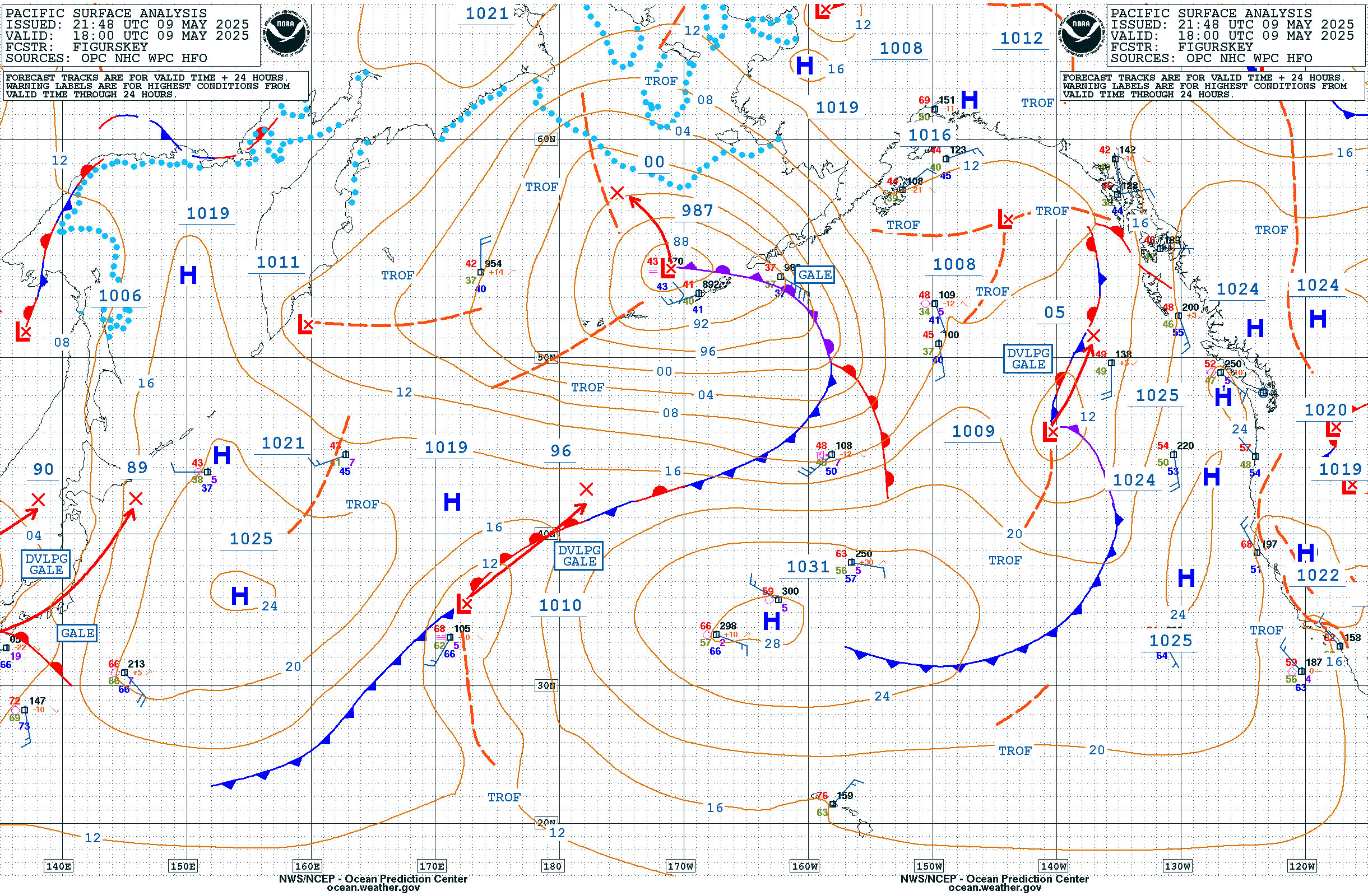
| Latest Pacific Surface Analysis | |
 |
|
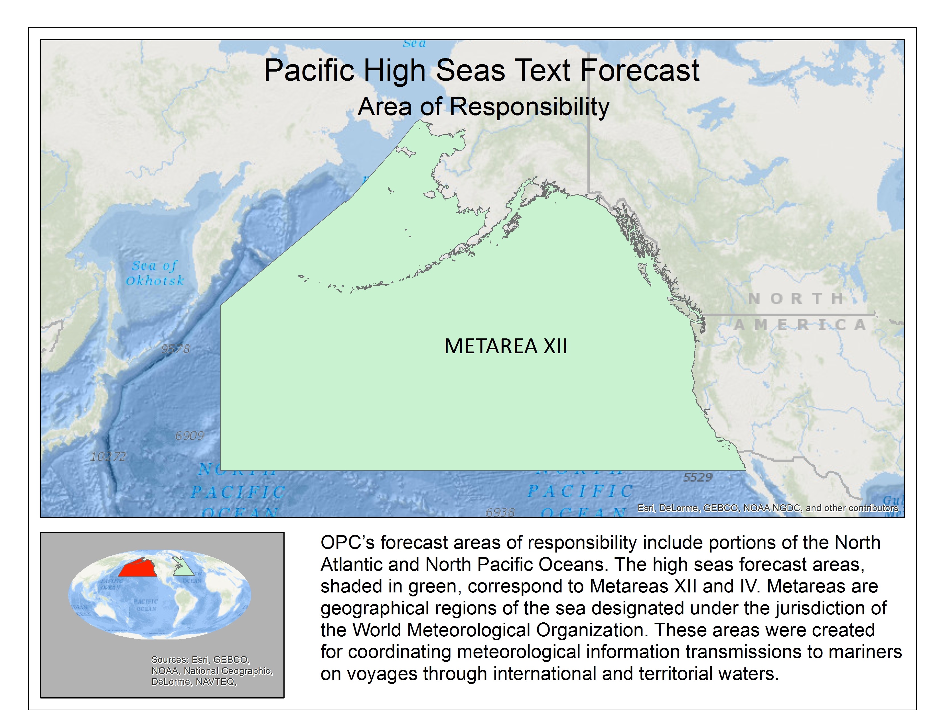
| Lead Forecaster Scott Prosise completing a surface analysis | Shaded in green: OPC's area of responsibility (METAREA XII) |
More Details:
The Pacific High Seas Desk produces the Pacific Surface Analysis four times daily at 00Z, 06Z, 12Z, and 18Z in close collaboration with the Weather Prediction Center (WPC), the Tropical Analysis and Forecast Branch (TAFB), and the Weather Forecast Office in Honolulu, HI (WFO HNL). These offices contribute to a final combined hemispheric surface analysis product, the Unified Analysis. The linked colorized image to the OPC homepage is clickable, or in other words the user can click to an area of interest, and the map will zoom to that specified location along with surface observations.
The Pacific High Seas Desk also generates the high seas text forecast (NFDHSFEP1) for METAREA XII (bottom right image above), four times daily at 00Z, 06Z, 12Z, and 18Z. Metareas are geographical regions of the sea designated under the jurisdiction of the World Meteorological Organization (WMO). These areas were created for coordinating meteorological information transmission to mariners on voyages through international and territorial waters.
The Pacific High Seas Desk produces a 48 hour suite of forecast products, twice per day, with base times at either 00Z (night shift) or 12Z (day shift). The 48 hour progs include upper air (500 mb) charts, surface charts, and wind/wave forecast graphics.
Return to Virtual Tour Home


