


Global STOFS Atlantic Region Storm Surge Model Guidance
|
PLEASE NOTE: On May 1, 2025, this webpage will be discontinued until further notice. More information is available here.
|
Go to Total Water Level (including tides) forecasts
(Mouseover and click the area where you would like to view the current storm surge model guidance data)
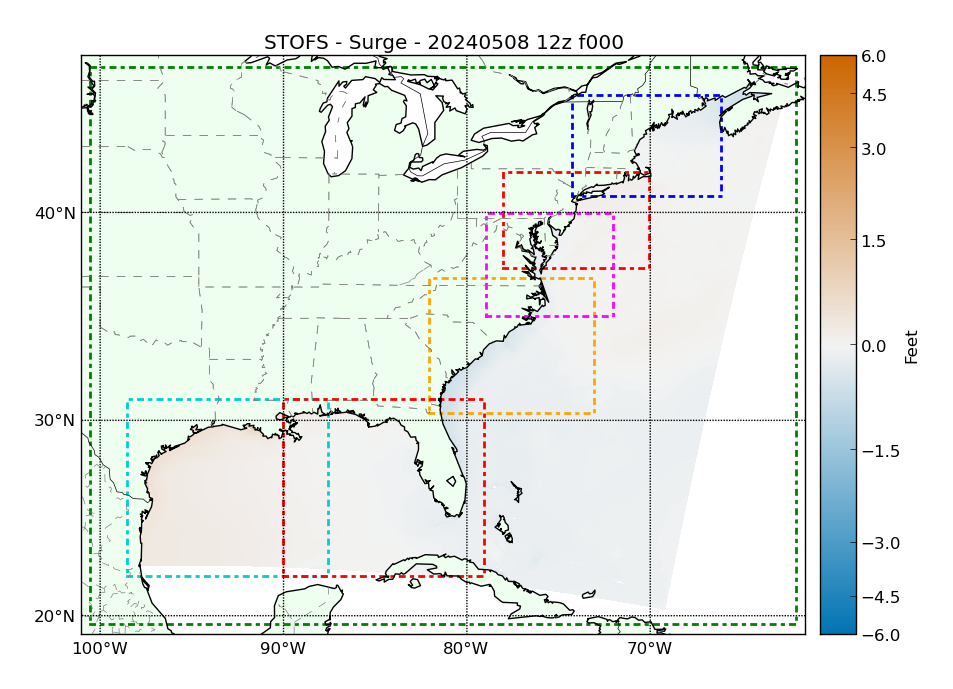
About Global STOFS Storm Surge Model Guidance
STOFS (Surge and Tide Operational Forecast System) is a collaboration between the NOAA/NOS/Coast Survey Development Lab and NOAA/NCEP.
STOFS provides a second operational set of forecast guidance in addition to the ET-SURGE (ETSS) model. The community-based ADvanced CIRCulation (ADCIRC) model is used for STOFS and the Global Forecast System (GFS) model provides the forcing. The STOFS model is run on NOAA's WCOSS super computing system four times daily out to 180 hours producing numerical storm surge guidance for systems.
Global STOFS provides worldwide coverage. For more details, see the Global STOFS Service Change Notice.
Data Availability
DATA is available in GRIB and NetCDF formats via NOMADS: http://nomads.ncep.noaa.gov/
Terminology
NOAA information regarding storm surge terminology (pdf download).
Note on Tropical Cyclone Events
The Storm Surge information shown here should not be used for tropical cyclone events. For official storm surge information associated with tropical cyclones, please consult advisories and warnings issued by the National Hurricane Center.