| Hurricane Warnings in Effect | Pacific: High Seas EP1 and EPI |
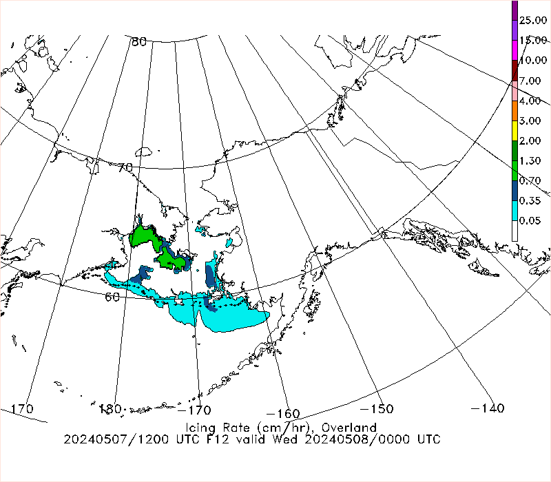
Experimental Freezing Spray Guidance
CAUTION: Some images below have not updated recentlyBasin
Alaska and Pacific Atlantic
Forecast hour
NOTE: The experimental freezing spray guidance shown here should be used with other data when making decisions impacted by weather forecasts.
For official weather forecast information, please consult the following resources when using this guidance:
NWS Alaska Region
NWS Atlantic Marine Forecast Areas
NWS Pacific Marine Forecast Areas
Canada Marine Forecasts and Warnings
Other information about this product:
The Overland* and Stallabrass images above depict the forecast ice accumulation rate (in cm/hour) at 12 hours, 24 hours, and 36 hours. The rate is an instantaneous forecast, not cumulative.
The guidance is based on the Global Forecast System (GFS) model data.
*More information on the Fetch Factor applied to Overland freezing spray algorithm (pdf).


